

SARA ALZAABI (ABU DHABI)
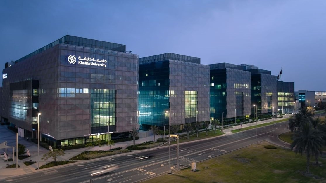
At the World Crisis & Emergency Management Summit 2025, two prominent institutions - Technology Innovation Institute (TII) and Khalifa University - showcased groundbreaking technologies aimed at enhancing security, safety, and operational resilience in emergency management.
Dr. Eloy Roura, Senior Director at TII, elaborated on two of the institute's most ambitious projects. One supports navigation in challenging environments, while the other improves the efficiency of emergency responses through a unified search-and-rescue platform.
Highly Advanced Navigation System
The first, the Perceptra system, is a highly advanced GPS-denied navigation model designed for environments where traditional GPS signals are unavailable. It is allows aerial navigation in GNSS-denied environments.
This system is essential for operations in areas affected by jamming, obstructions, or natural phenomena that disrupt GPS signals, such as storms, smoke, or fog.
"The Perceptra is basically a model [for a] GPS-denied navigation system. It provides platforms with guidance under those conditions," Dr. Roura said.
The system includes a camera, a companion board, and an inertial measurement unit (IMU). It works by using a preloaded map of the operating area and matching the images captured by its camera to the map.
"Even if the map does not have an updated geo-referenced version," Roura noted, "it uses the features that it sees to understand how much it has moved from the previously estimated position."
This capability allows the system to function efficiently in unmapped or dynamically changing terrains.
In addition, the Perceptra system supports dead reckoning - or determining the position of an aircraft or vessel without the aid of celestial observations.
"If it reaches an area where there's no visibility for whatever reason-clouds, smoke, sandstorm, or fog - it enables dead reckoning," Dr. Roura said.
In dead reckoning mode, the system continues to estimate the platform's position based on inertial navigation.
Once visibility is restored, the system recalibrates itself to provide an accurate global position.
"It relocates itself and provides again a global position," he added, ensuring continuous navigation even in challenging environments.
Search-and-rescue Tool
The other project is aimed at integrating aerial, ground, and marine systems into a unified search-and-rescue platform, said Dr. Roura.
"We try to combine the three domains - aerial, ground, and marine - into a use case where we demonstrate how search and rescue can be done."
The integration of these systems aims to improve the efficiency of emergency responses in varied environments.
Once unmanned aerial vehicles identify a target, smaller drones are dispatched to pinpoint the exact location, which is then relayed to a convoy of ground vehicles or marine systems for intervention.
"It does the intervention that it needs to do according to the situation," Roura stressed, illustrating the adaptability of this multi-domain approach.
Flight Control Tech
Moreover, Rahul Lakhawat, Director of Projects at TII's Secure Systems Research Centre, shared a comprehensive look at another integrated platform designed for secure, resilient operations across autonomous systems.
The platform's centerpiece is Saluki, a technology that serves as both a flight controller and mission computer. Essentially, it's a high-security flight control technology for autonomous systems.
"Saluki can go on any UxV platform, which means it can be installed on a drone or a ground vehicle," Lakhawat said.
"It enables secure and resilient control of the drone. So, if someone tries to hack the drone or do something malicious, it's not possible with Saluki on board."
Lakhawat further explained that Saluki is complemented by a secure communications shield and a first responder system, which together ensure that the deployed systems remain safe from cyber threats and operate securely in any mission scenario.
The platform also integrates human operators in the field.
"In a manned-unmanned teaming scenario, a human first responder on the ground can coordinate with a drone in the sky," Lakhawat noted.
"The drone can send media back to the first responder, who sees it through smart glasses while continuing his task. It improves situational awareness in real time."
This real-time collaboration between human responders and autonomous systems is critical for making informed decisions during emergencies.
Monitoring Drones
At Khalifa University, Yaser Alesh, a research assistant, presented a project focused on improving drone oversight through the integration of Extended Reality (XR) technology.
"We are presenting an XR integration platform that allows people like police officers and law enforcement officials to use smart glasses in the city to monitor drones more effectively and efficiently," Alesh explained.
Alesh and his team created a simulated city environment where drones are actively flying.
In the simulation, officers wearing smart glasses can view real-time data about drones, including their flight paths, identification, and regulatory compliance status.
"This allows the officer to say what the drone is doing, whether it's compliant with regulations, and even predict its next move," Alesh said.
This platform is designed to address the challenge of managing the growing number of drones in urban environments.
